Log in
All resources
Create a design
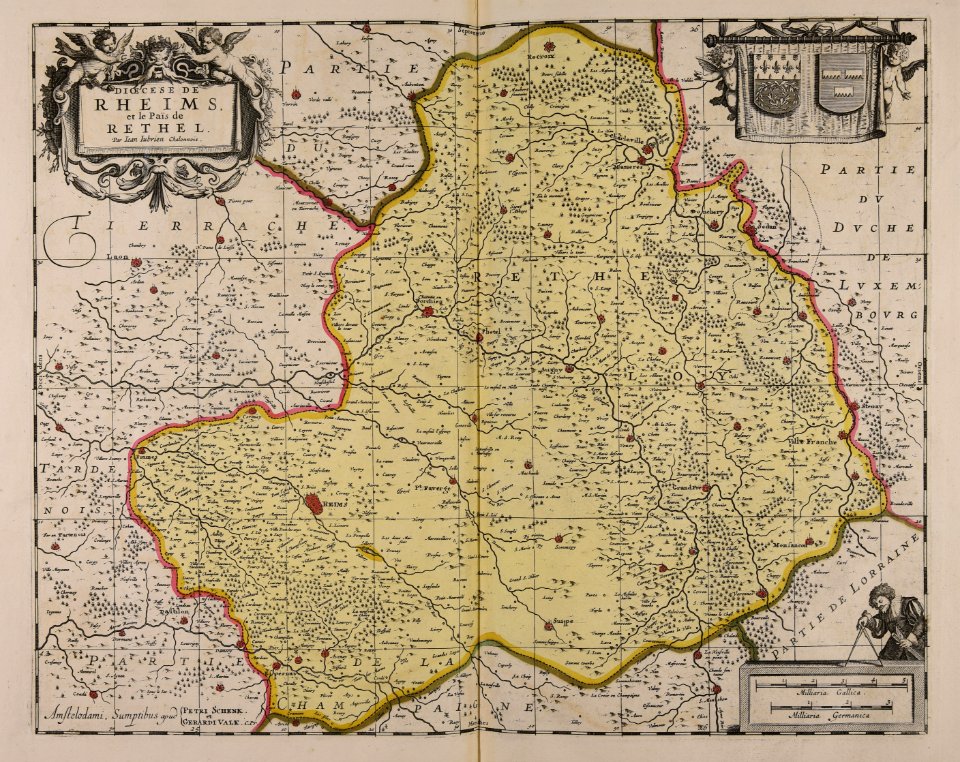
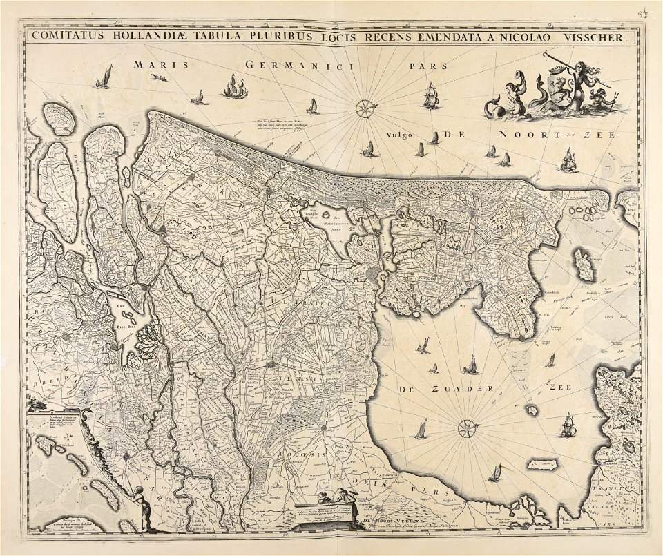
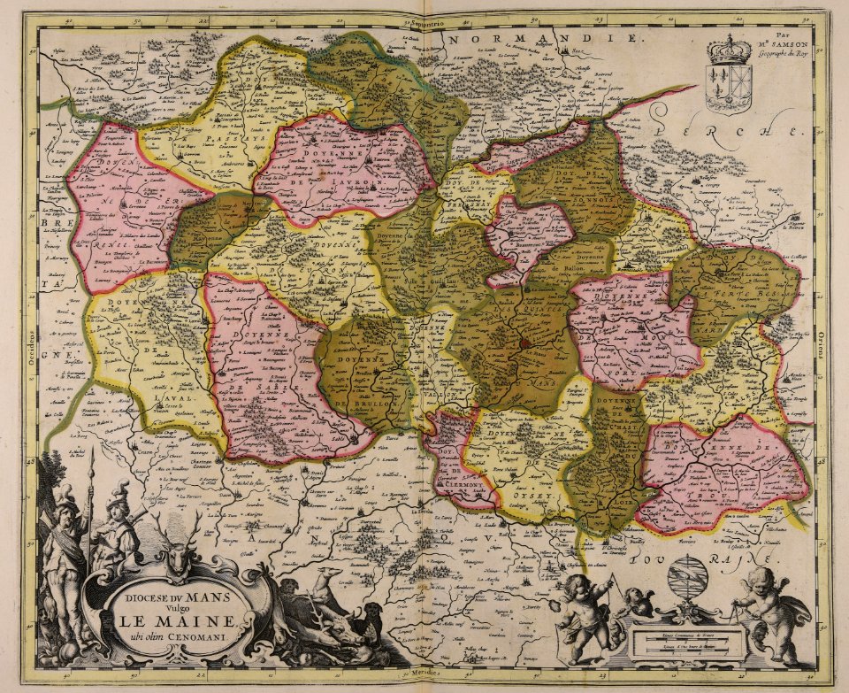
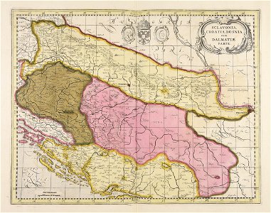
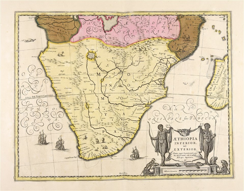
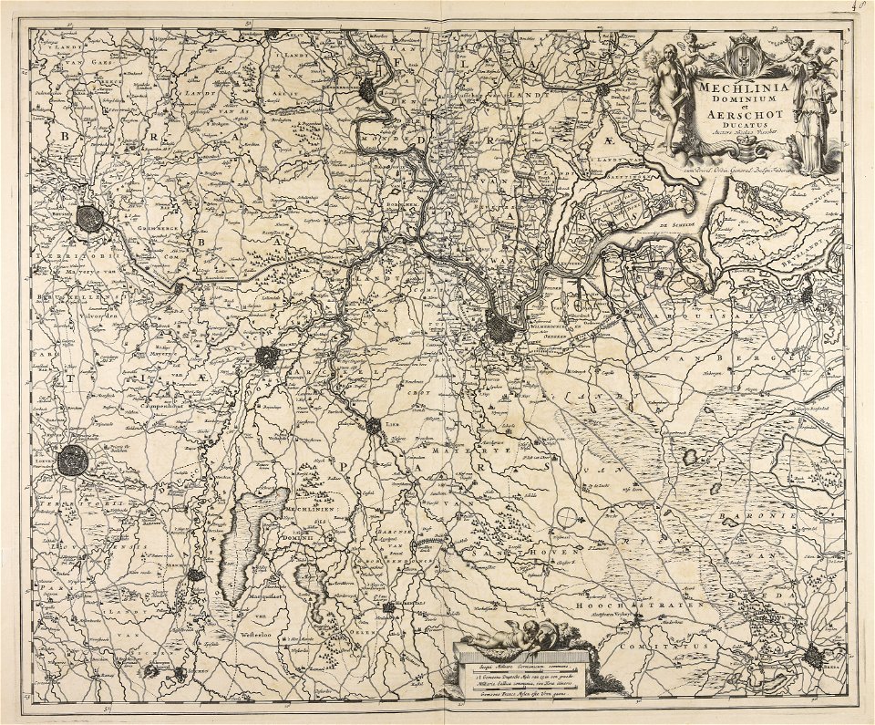
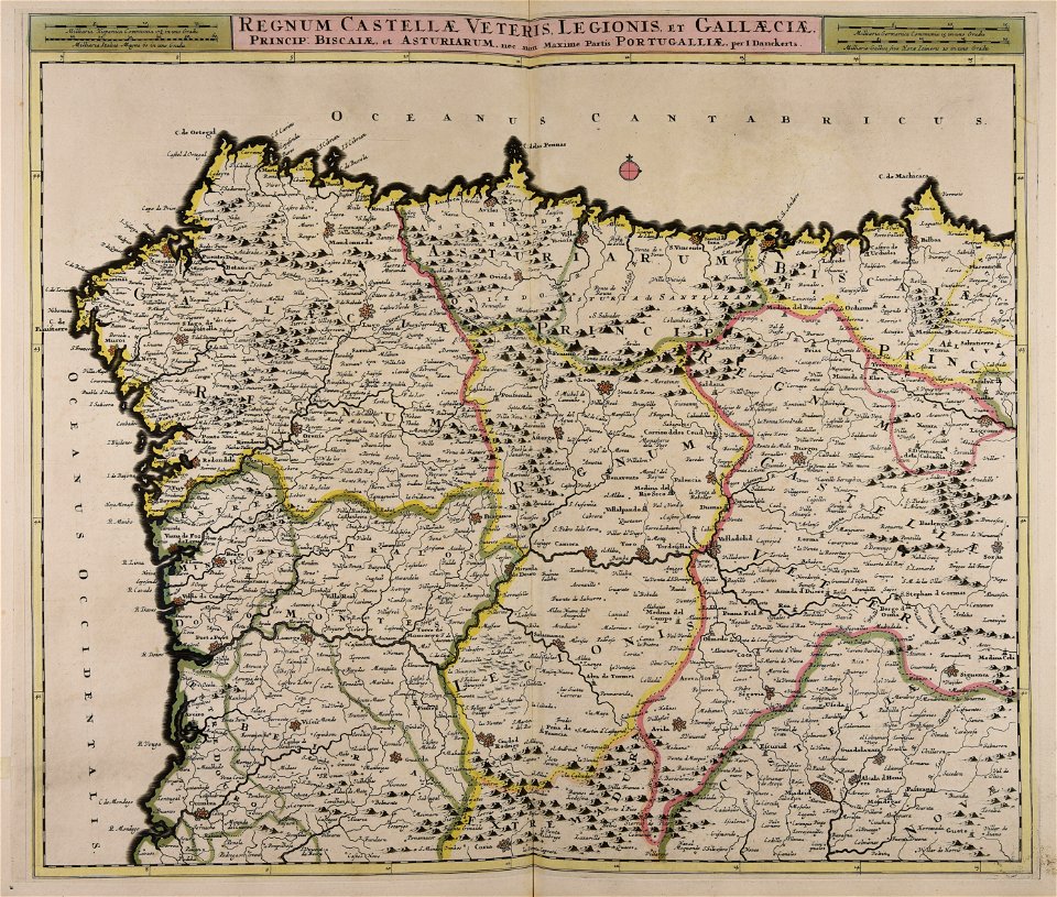
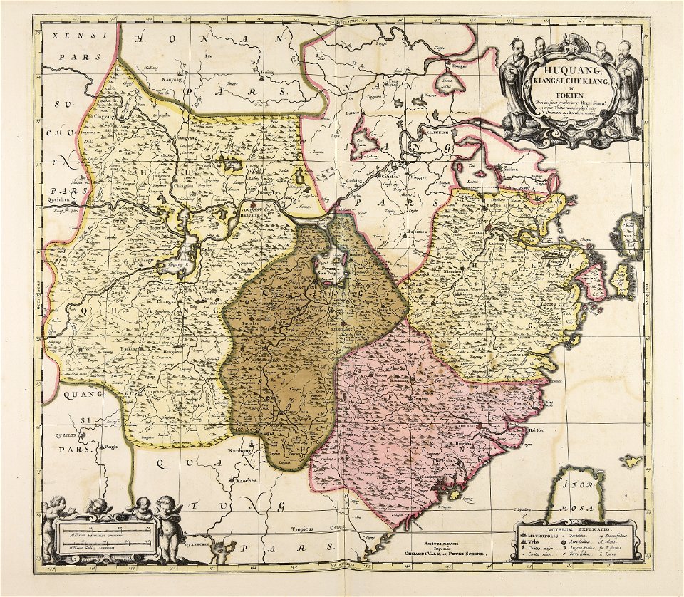
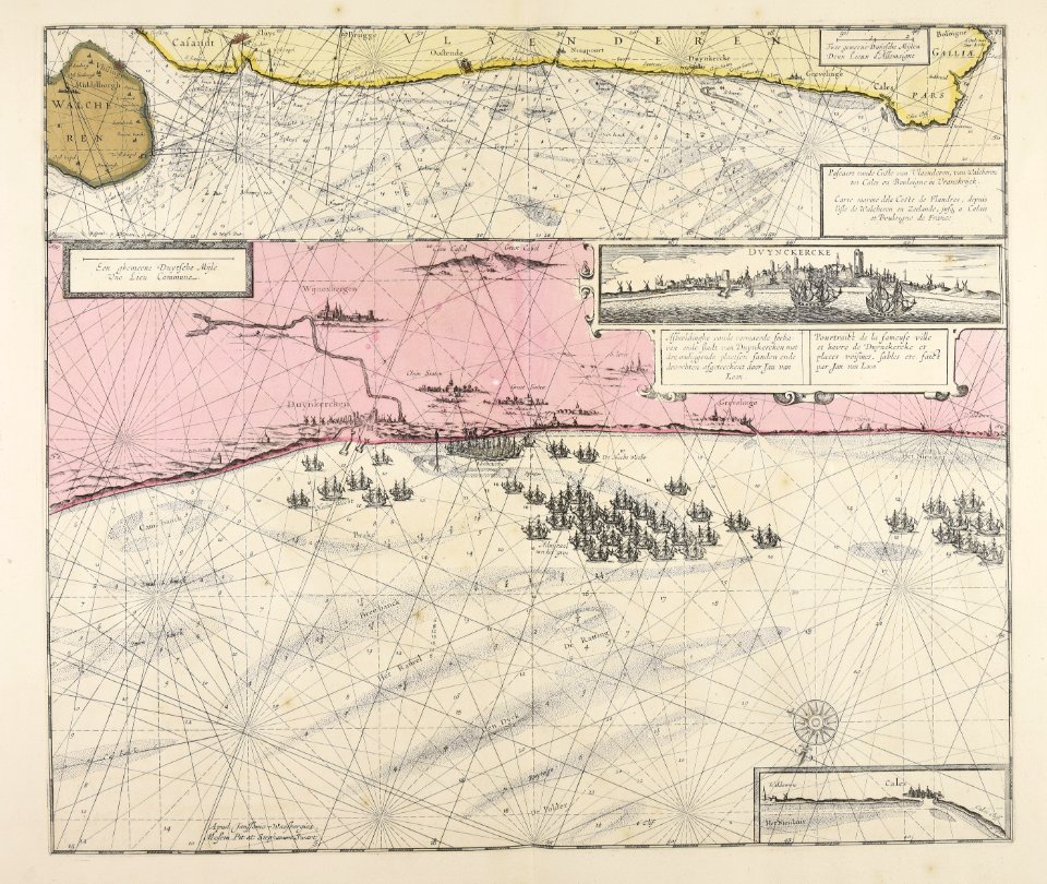
593 Free Images of Maps Made In The 17th Century
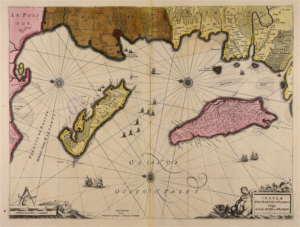
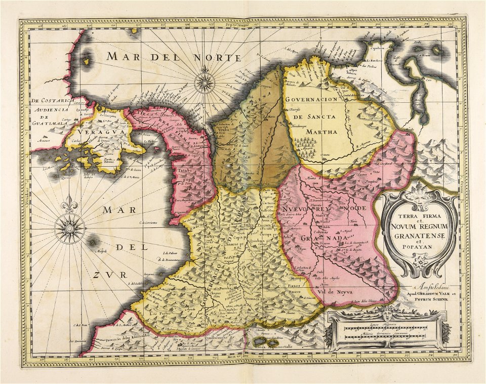
maps by pieter schenk (i)
gerard valck
atlantis magni tomus quintus (biblioteca comunale di trento)
atlantis magni tomus quartus (biblioteca comunale di trento)
atlantis magni tomus secundus (biblioteca comunale di trento)
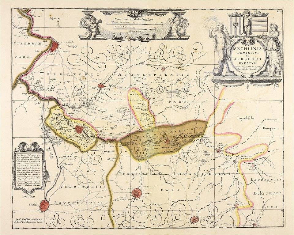
jan janssonius
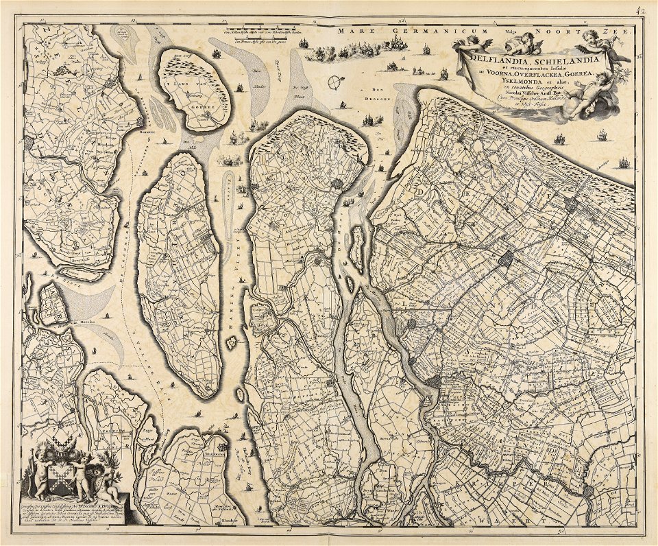
nicolaes visscher ii
atlantis magni tomus primus (biblioteca comunale di trento)
atlantis magni tomus tertius (biblioteca comunale di trento)
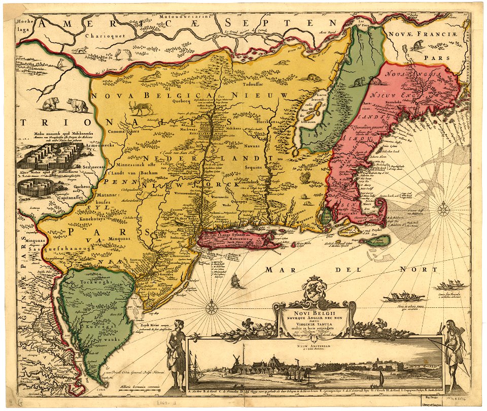
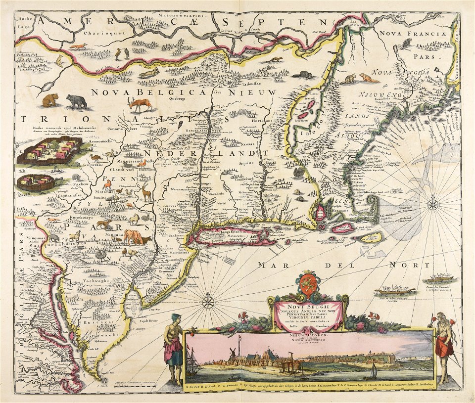
new amsterdam
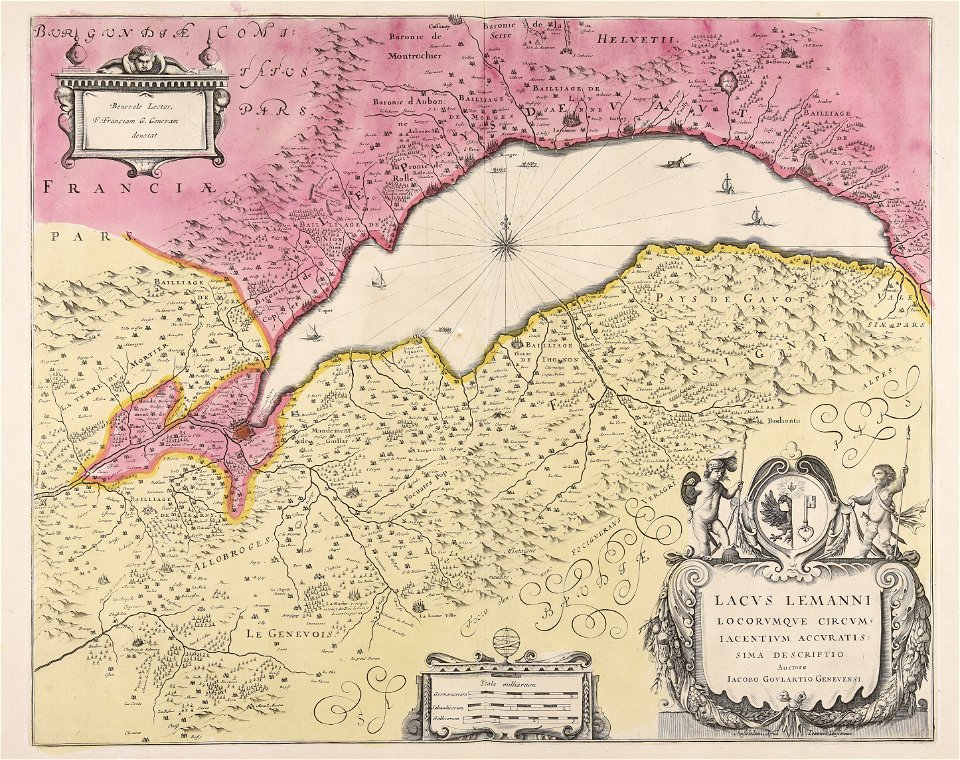
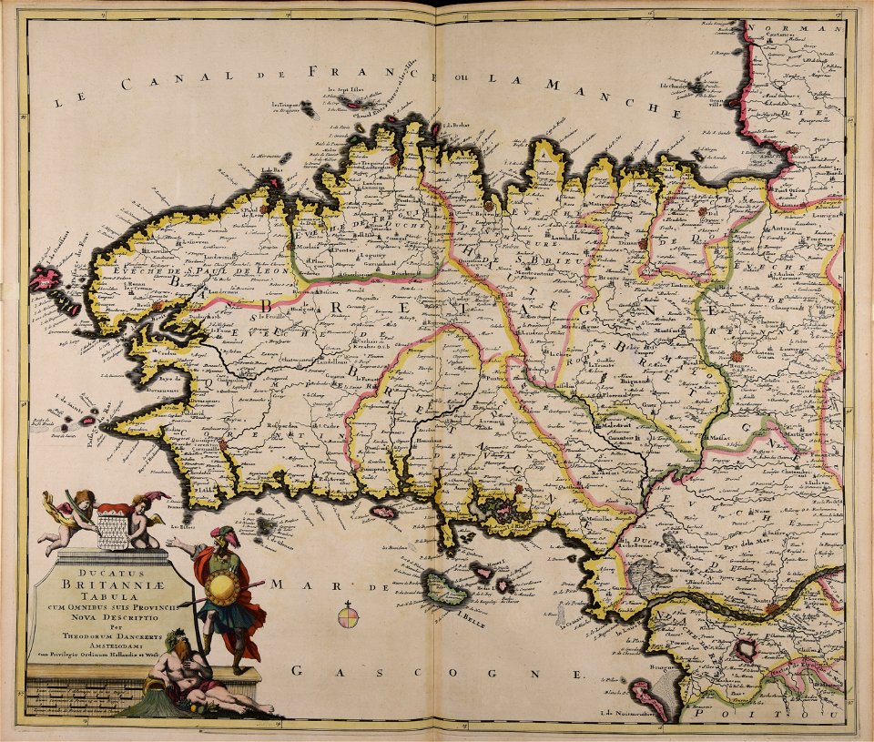
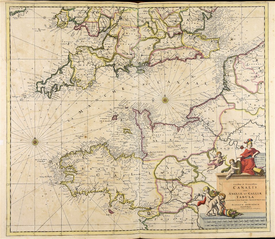
maps made in the 17th century
gerard valck
maps made in the 17th century
cornelis danckerts (ii)
gerard valck
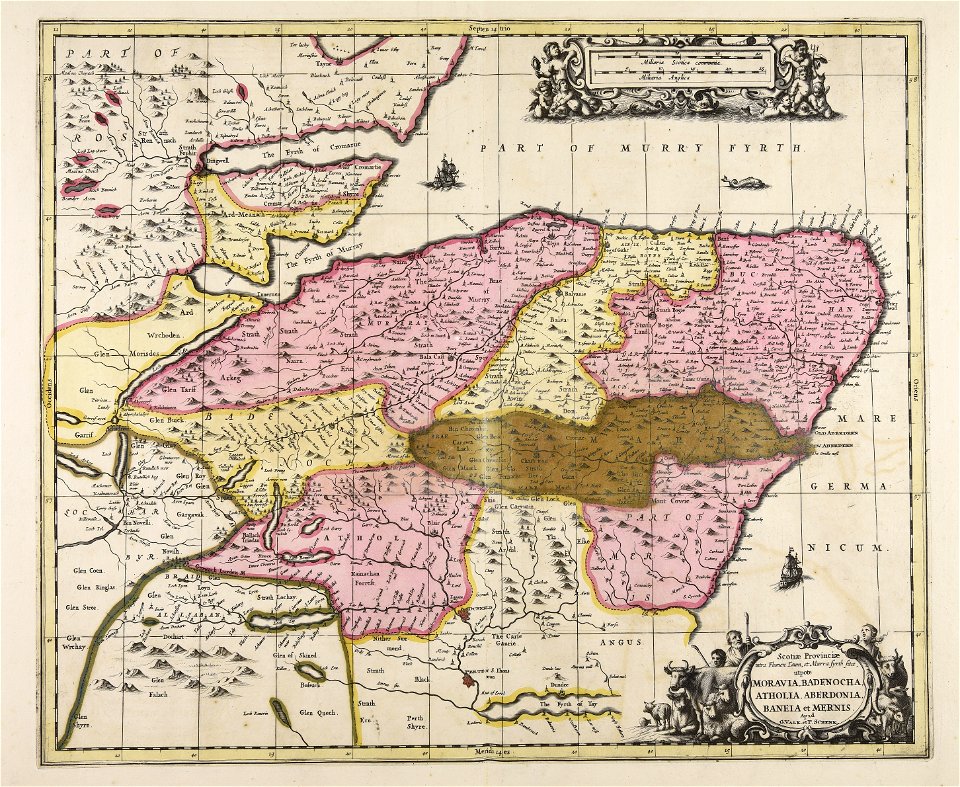
scotland
maps made in the 17th century
gerard valck
maps made in the 17th century
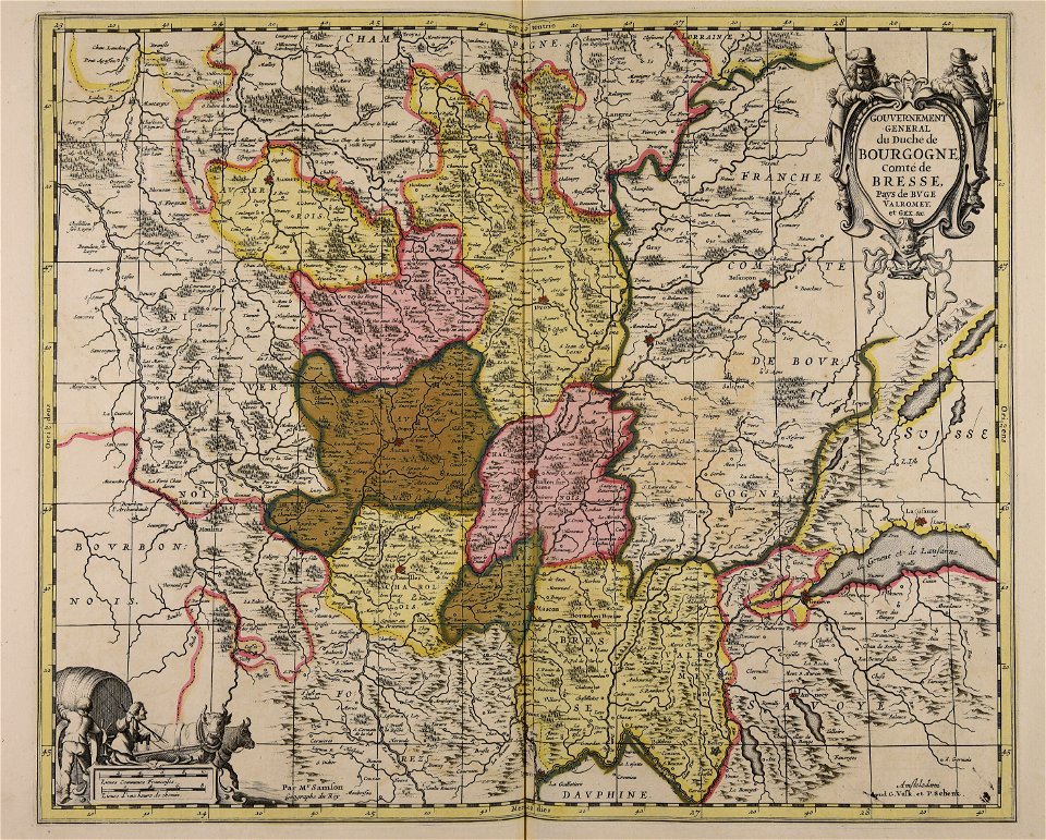
maps by nicolas sanson
maps by willem and johannes blaeu
maps made in the 17th century
atlantis magni tomus primus (biblioteca comunale di trento)
maps made in the 17th century
atlantis magni tomus secundus (biblioteca comunale di trento)
maps made in the 17th century
maps made in the 17th century
finlandia
maps made in the 17th century
gerard valck
maps made in the 17th century
jan janssonius
gerard valck
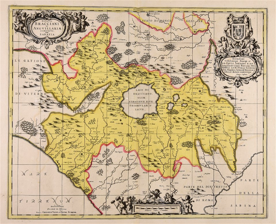
lazio
maps made in the 17th century
gerard valck
maps made in the 17th century
gerard valck
maps made in the 17th century
gerard valck
maps made in the 17th century
jan janssonius
atlantis magni tomus quintus (biblioteca comunale di trento)
maps made in the 17th century
atlantis magni tomus quartus (biblioteca comunale di trento)
maps made in the 17th century
maps made in the 17th century
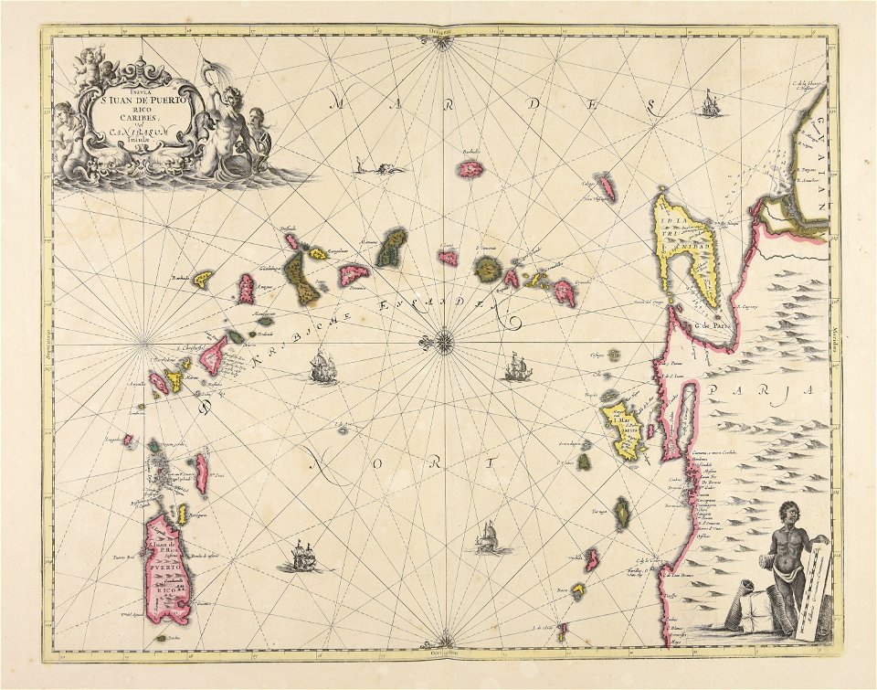
caraibi
maps made in the 17th century
nicolaes visscher ii
maps made in the 17th century
funen
maps made in the 17th century
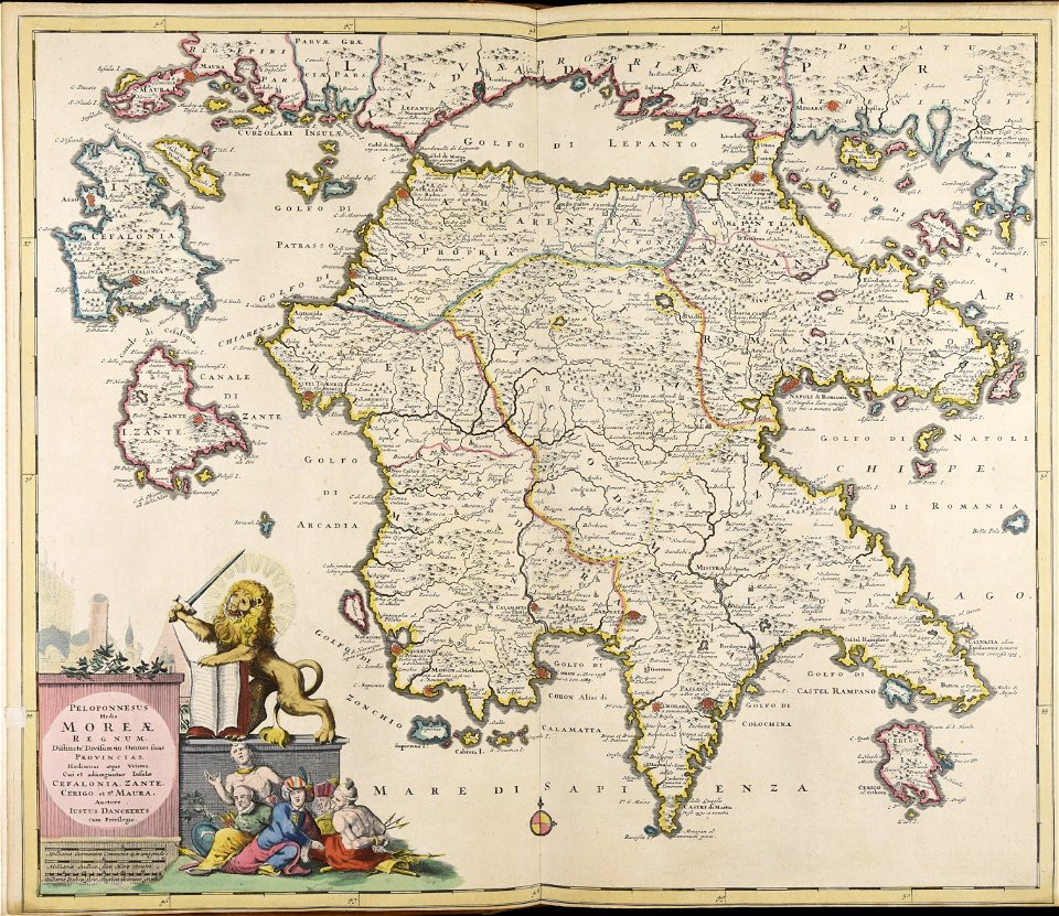
peloponnese
maps made in the 17th century
guillaume sanson
maps made in the 17th century
gerard valck
maps made in the 17th century
gerard valck
gerard valck
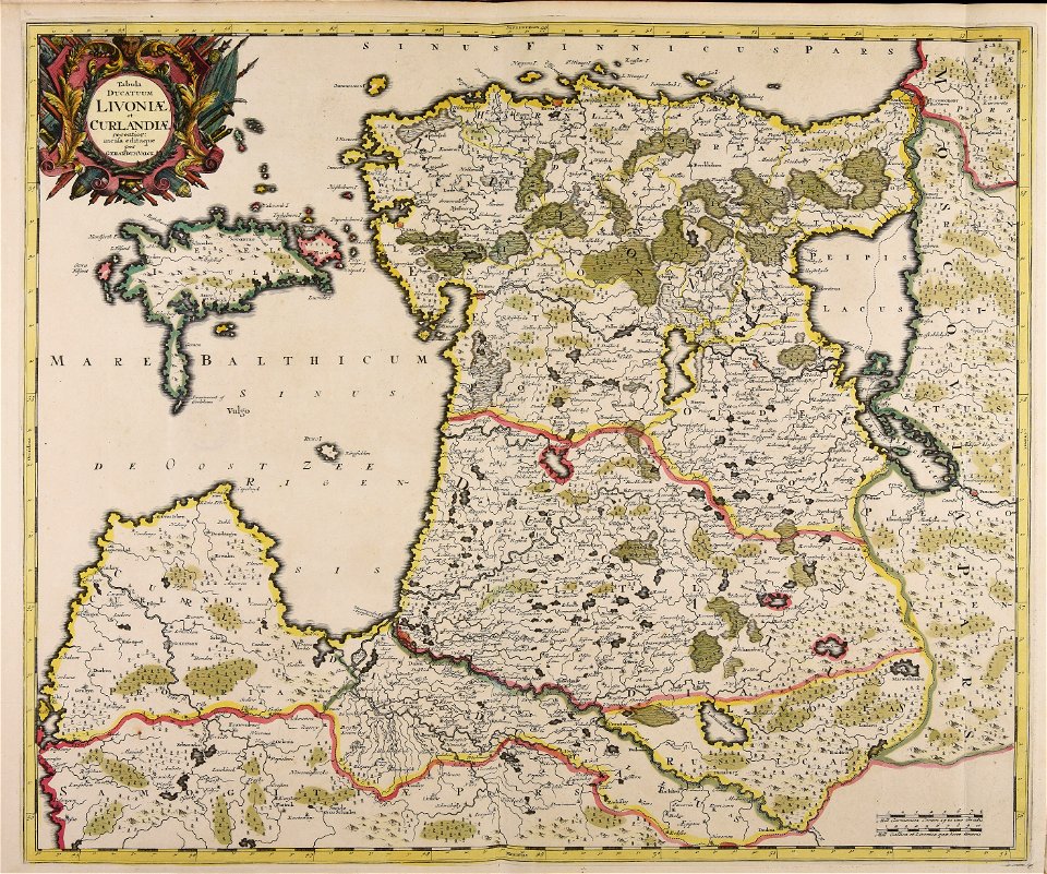
livonia
maps made in the 17th century
romeyn de hooghe
maps made in the 17th century
gerard valck
maps made in the 17th century
guillaume sanson
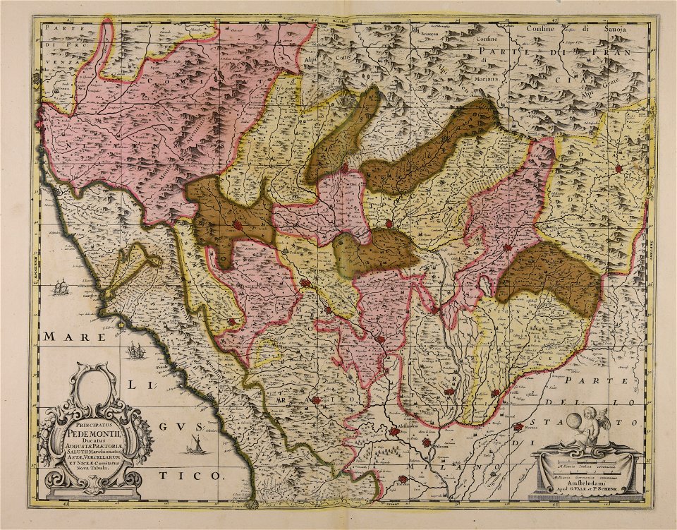
piedmont
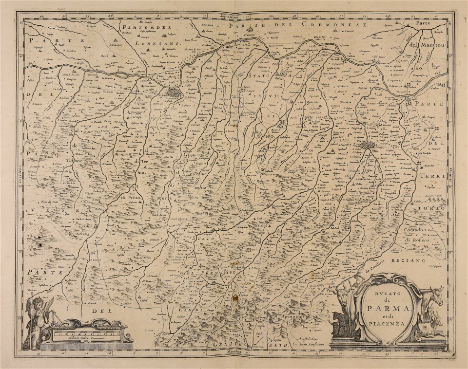
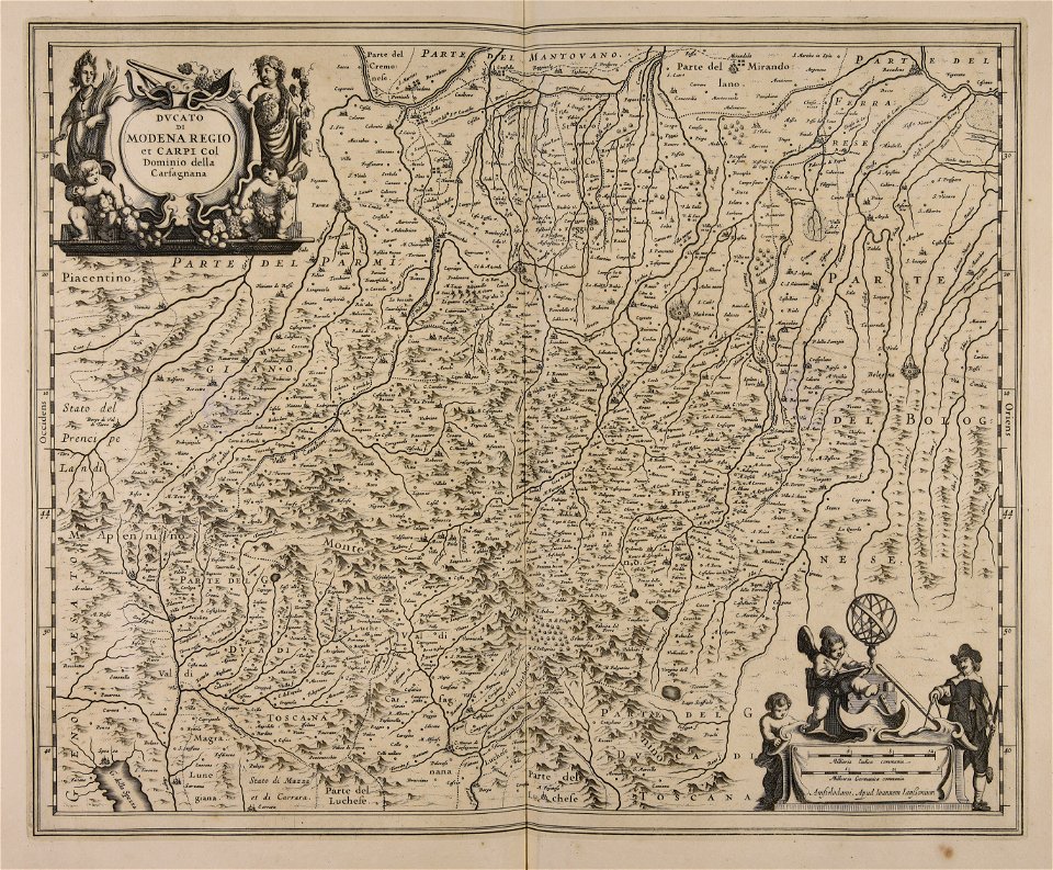
lombardy
maps made in the 17th century
gerard valck
atlantis magni tomus secundus (biblioteca comunale di trento)
maps made in the 17th century
maps made in the 17th century
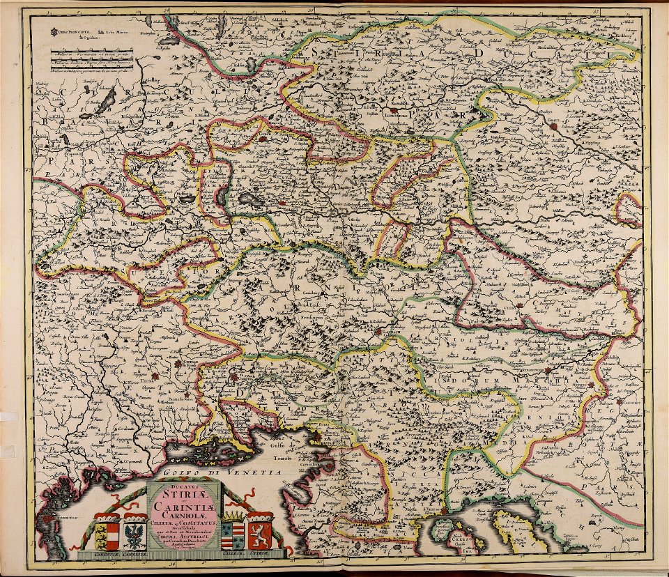
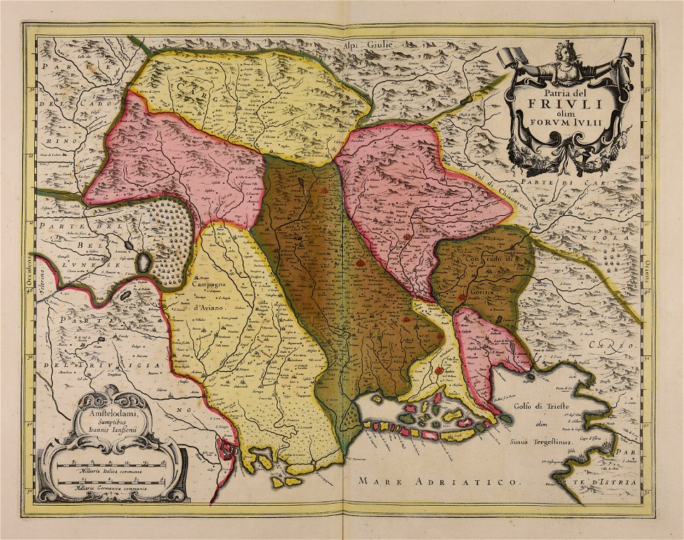
friuli-venezia giulia
maps made in the 17th century
jan janssonius
maps made in the 17th century
cornelis danckerts (i)
maps made in the 17th century
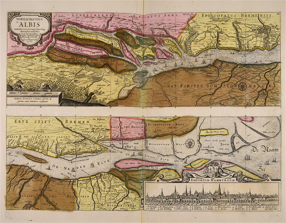
stormarn
gerard valck
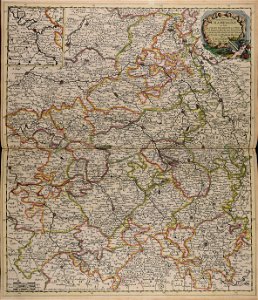
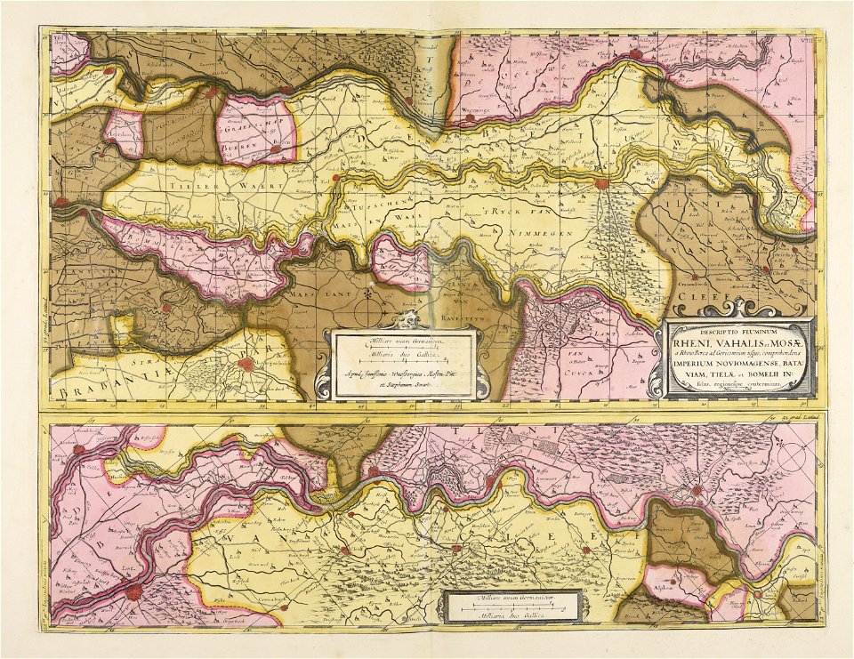
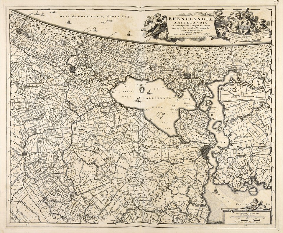
rhineland
maps made in the 17th century
gerard valck
maps made in the 17th century
gerard valck
maps made in the 17th century
guillaume sanson
maps by willem and johannes blaeu
maps made in the 17th century
maps made in the 17th century
gerard valck
maps made in the 17th century
nicolaes visscher ii
maps made in the 17th century
gerard valck
maps made in the 17th century
jan janssonius
atlantis magni tomus quintus (biblioteca comunale di trento)
maps made in the 17th century
atlantis magni tomus primus (biblioteca comunale di trento)
maps made in the 17th century
maps made in the 17th century
danimarca
maps made in the 17th century
jan janssonius
maps made in the 17th century
gerard valck
maps made in the 17th century
gerard valck
maps made in the 17th century
jan janssonius
atlantis magni tomus quartus (biblioteca comunale di trento)
maps made in the 17th century
maps made in the 17th century
jan janssonius
atlantis magni tomus quintus (biblioteca comunale di trento)
maps made in the 17th century
atlantis magni tomus primus (biblioteca comunale di trento)
maps made in the 17th century
maps made in the 17th century
jan janssonius
maps made in the 17th century
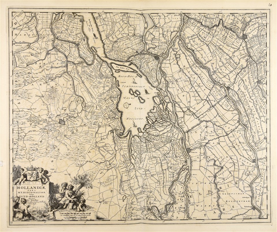
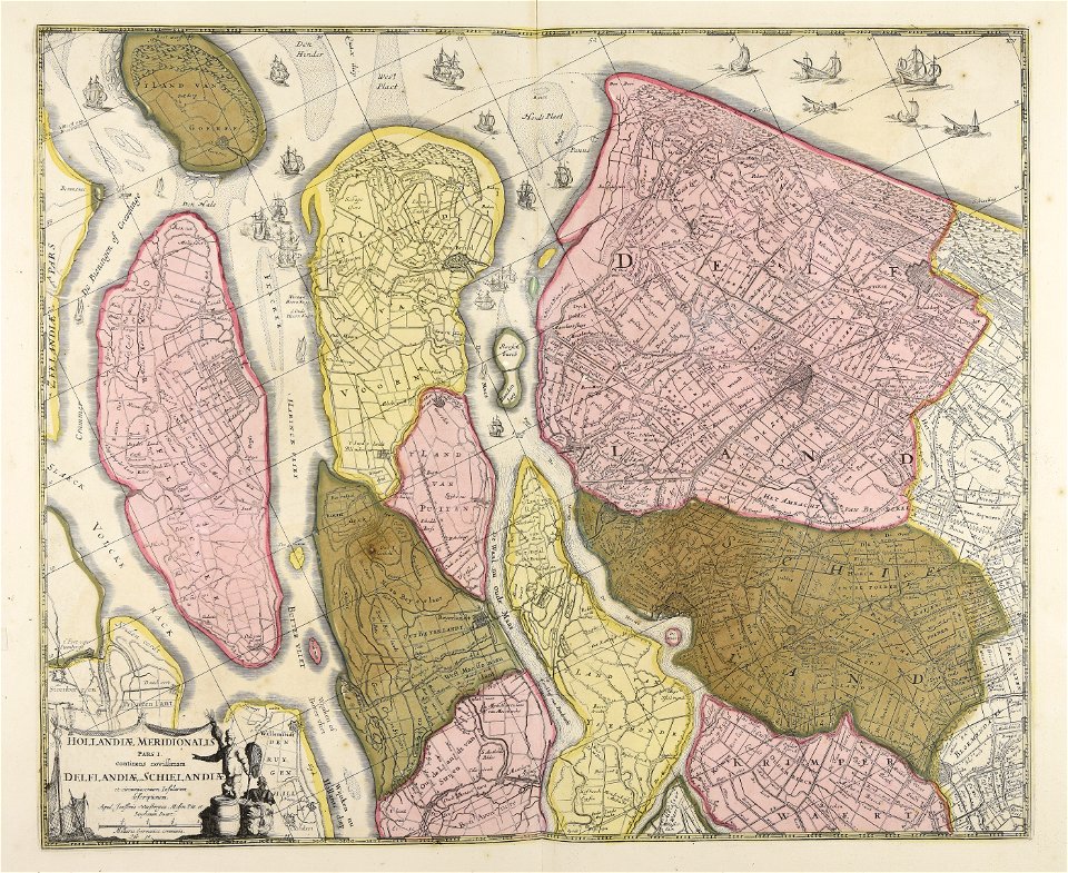
paesi bassi
atlantis magni tomus quartus (biblioteca comunale di trento)
maps made in the 17th century
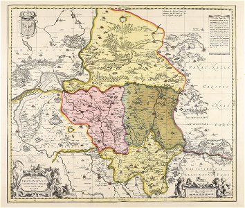
old maps of bosnia and herzegovina
gerard valck
maps made in the 17th century
gerard valck
atlantis magni tomus quintus (biblioteca comunale di trento)
maps made in the 17th century
atlantis magni tomus secundus (biblioteca comunale di trento)
maps made in the 17th century
atlantis magni tomus secundus (biblioteca comunale di trento)
maps made in the 17th century
maps made in the 17th century
gerard valck
maps made in the 17th century
belgio
maps made in the 17th century
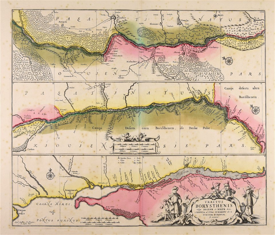
dnieper river
maps made in the 17th century
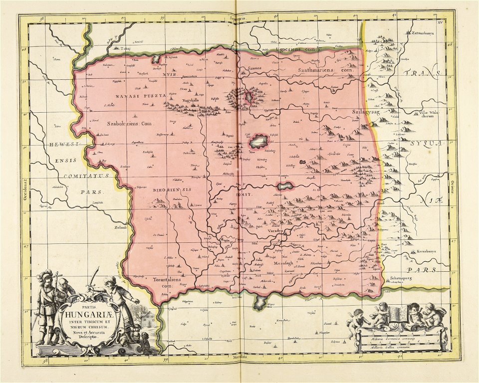
ungheria
maps made in the 17th century
nicolaes visscher ii
maps made in the 17th century
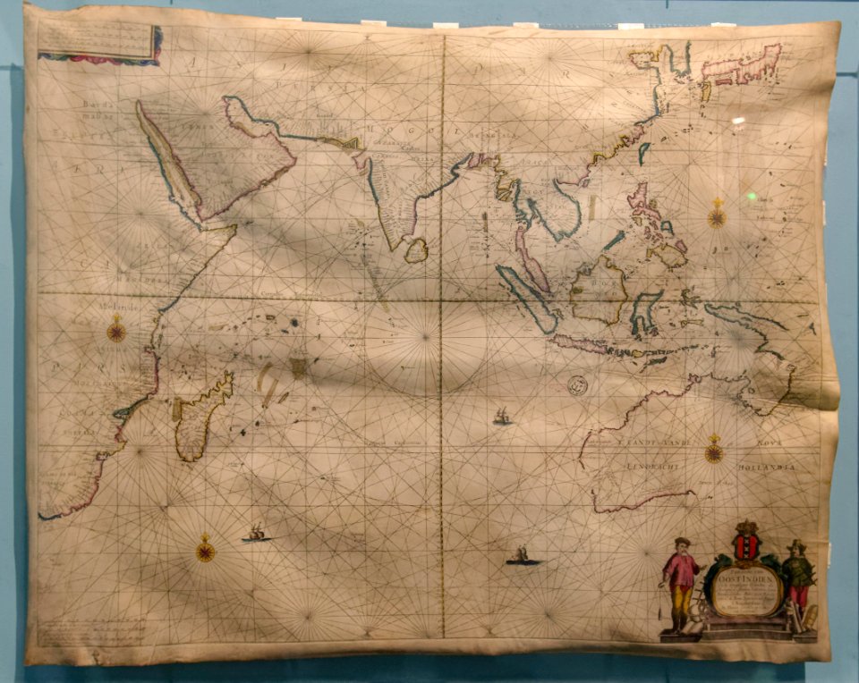
giappone
atlantis magni tomus secundus (biblioteca comunale di trento)
maps made in the 17th century
atlantis magni tomus secundus (biblioteca comunale di trento)
maps made in the 17th century
maps made in the 17th century
gerard valck
maps made in the 17th century
gerard valck
maps made in the 17th century
olof örnehufvud
atlantis magni tomus quartus (biblioteca comunale di trento)
maps made in the 17th century
maps made in the 17th century
jan janssonius
copper engraving
beavers in art
maps made in the 17th century
nicolaes visscher ii
atlantis magni tomus quartus (biblioteca comunale di trento)
maps made in the 17th century
maps made in the 17th century
gerard valck
maps by willem and johannes blaeu
hudson valley
atlantis magni tomus secundus (biblioteca comunale di trento)
maps made in the 17th century
atlantis magni tomus secundus (biblioteca comunale di trento)
maps made in the 17th century
maps made in the 17th century
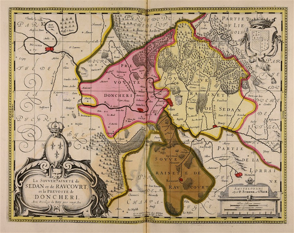
principality of sedan
maps made in the 17th century
jan janssonius
maps made in the 17th century
jan janssonius
maps made in the 17th century
nicolaes visscher ii
maps made in the 17th century
nicolaes visscher ii
copper engraving
beavers in art
maps made in the 17th century
2017 photographs of paris
copper engraving
beavers in art
maps made in the 17th century
2017 photographs of paris
17th-century maps of argentina
maps made in the 17th century
maps in the library of congress
adriaen van der donck
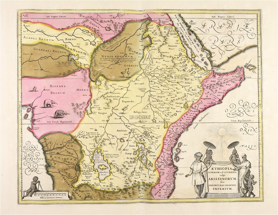
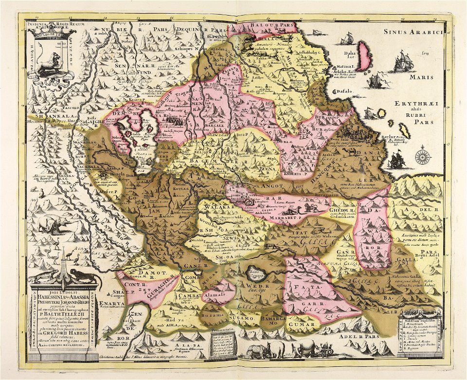
maps of abyssinia by mercator-hondius
maps of the kingdom of kongo
maps made in the 17th century
maps by jodocus hondius
borders of andorra-france
maps of borders of spain
maps in the library of congress
adriaen van der donck
maps by jodocus hondius
old maps of virginia
401 - 500 of 593
Next page
/ 6